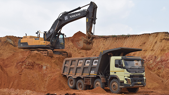
iCEM, in collaboration with one of the start-ups shortlisted by the Government of India (Huviair), recently completed a Proof of Concept (PoC) for the Vision Intelligence Platform powered by drone technology, in one of the GMDC mines located in Bhavnagar.
Intelligent vision through drone technology is revolutionizing mining surveys, offering a myriad of benefits that enhance efficiency, safety and overall operational effectiveness. Here are key advantages of employing drone-based intelligent vision in mining survey applications:
Innovation exploration in the mining industry represents a strategic endeavor to actively seek, assess and adopt cutting-edge ideas, technologies and methodologies. Through its dedication to innovation exploration, iCEM works towards mining enterprises to embrace change, adopt transformative technologies and drive sustainable growth by:
Drone surveys significantly reduce the time and cost associated with traditional surveying methods. Drones can cover large areas quickly and efficiently, allowing mining companies to obtain up-to-date data without the need for extensive ground-based surveys or manned aircraft.
By eliminating the need for ground-based surveyors to access challenging or hazardous terrain, drones enhance safety in mining operations. They can navigate difficult terrain, explore unstable areas and operate in potentially hazardous environments, reducing the risk to human surveyors.
Advanced cameras on drones capture high-resolution imagery, providing detailed and accurate data for geological analysis. This level of precision aids in identifying mineral deposits, assessing rock formations and planning extraction processes with greater confidence.
Drones generate precise 3D models and DTMs of mining sites, offering a comprehensive visualization of the landscape. This aids in volumetric calculations, stockpile monitoring and detailed analysis of earthmoving activities, leading to optimized resource management.
Drones equipped with sensors can monitor environmental factors such as air and water quality, vegetation health and wildlife habitats. This supports mining companies in adhering to environmental regulations and implementing sustainable practices.
The data collected by drones can be processed in real-time or near real-time, providing immediate insights for on-site decision-making. This agility enhances operational responsiveness, allowing mining companies to adapt quickly to changing conditions.
Intelligent vision technologies enable automated surveying processes. Drones can follow predefined flight paths or utilize GPS waypoints, autonomously capturing data according to a survey plan. This level of automation enhances efficiency and repeatability in surveying tasks.
Drone data seamlessly integrates with GIS platforms, enabling mining companies to overlay survey information with other relevant spatial data. This integrated approach enhances the overall understanding of the mining landscape and facilitates better-informed decision-making.
Mining professionals can remotely access drone-captured data, facilitating collaboration and decision-making across dispersed teams. This is especially valuable for multinational mining operations or sites located in remote areas.
Intelligent vision through drone technology has the potential to transform mining survey processes by providing accurate, timely and actionable data. The benefits include increased efficiency, enhanced safety, improved environmental stewardship and a comprehensive understanding of the mining landscape. Ultimately, this contributes to more informed decision-making and optimized mining operations.